 |
Dedication: Saint Agnes Location: St Agnes' Cottage Coordinates: 51.42989N, -0.58752W* Grid reference: SU982710* Status: destroyed |
St Agnes was a 4th century Roman martyr, and although her cult in medieval times had a presence in England, it was clearly not particularly prevalent here, especially not in Egham, the medieval parish church of which is dedicated to St John; in fact, there are no medieval churches of St Agnes within several miles of St Agnes' Well. This, coupled with the fact that there is no documentary evidence to prove that the holy well existed in medieval times, suggests that the site may have been constructed as a folly at some point after the Reformation. In the late 18th century, the well was located within the grounds of the seat of a lord, who may have been influenced by the elaborate follies of nearby Windsor Park, and decided to create one of his own.
The only piece of evidence that provides a potential link between the well and the medieval period, noted by Frederic Turner in Egham, Surrey (1926), is the existence of a local family named "Atte Welle" in the area in the 14th century. A possible connection between this family and St Agnes' Well is established by the fact that the 15th century William Atte Welle was a brewer, and one of the outbuildings surrounding St Agnes' Cottage, the reputed location of the well, contained a brewhouse as late as the 1800s. Of course, although the family was evidently named for a notable well somewhere in the vicinity, their link to St Agnes' Well and St Agnes' Cottage is quite tenuous.
Turner reported that, in his time, the well's water had been used for "curative purposes" within living memory. However, he also made it clear that the well no longer existed, although it had previously been located within the garden of St Agnes' Cottage, at least according to John Hassell, who published an illustration of the cottage in Views of Gentleman's Seats Adjacent to London (1804-5), and mentioned the well in an adjoining description of the property. Unfortunately, I have been unable to access Hassell's original remarks, but it is evident that the well was originally situated within the cottage's garden, and must have either been filled in or built over by the 1920s.
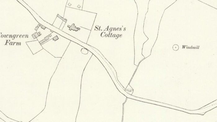
No historic Ordnance Survey maps, which were first published in the 1880s, mark any water source in the building's garden, so it had presumably been destroyed by then. This also makes it impossible to ascertain the site's exact location.
|
*This location is centred on St Agnes' Cottage
Images:
Old OS maps are reproduced with the permission of the National Library of Scotland
Copyright 2025 britishholywells.co.uk